
Projects by Our Team
Geotechnical Projects
High-resolution P-and S-wave seismic reflection followed by engineering modeling for geotechnical site characterization in southern Illinois.
Comparing Vs profiles from MASW and the downhole logging method from glacial deposits in central Illinois.
Near‐surface electrical resistivity investigation of coseismic liquefaction‐induced ground deformation associated with the 2016 Mw 5.8 Pawnee, Oklahoma, Earthquake
Comparing continuous profiles from MASW and shear-wave reflection seismic methods,
Geotechnical assessment of ground conditions around a tilted building in Cairo, Egypt, using geophysical approaches,
Mapping a NEHRP site class using the multi-channel analysis of surface waves (MASW) method in Southeast Missouri, USA,
Near‐surface characterization of a geotechnical site in north‐east Missouri using shear‐wave velocity measurements,
Ground-Penetrating Radar: A tool for monitoring bridge scour,
A comparison of four geophysical methods for determining the shear wave velocity of soils,
A comparative analysis of the 2-D MASW shear wave velocity profiling technique,
A geotechnical investigation of sandstone degradation in Luxor, Egypt,
Non-destructive testing (NDT) for corrosion in bridge decks using GPR.
Mapping variations in the relative spatial locations of embedded dowel bars using GPR,
A protocol for selecting appropriate geophysical surveying tools based on engineering objectives and site characteristics.
Shear-wave seismic reflection for improved detection of ground subsidence and scouring features. Expanded Abstracts.
Assessing earthquake rupture zones: An integrated electrical and aeromagnetic approach.
Bedrock mapping using MASW with inversion and interpretation constraints from seismic refraction.
Identifying areas of potential surface fissures and sand blows: A geophysical case study in central Oklahoma following the 2016 Mw 5.8 Pawnee, OK earthquake.

Environmental Projects
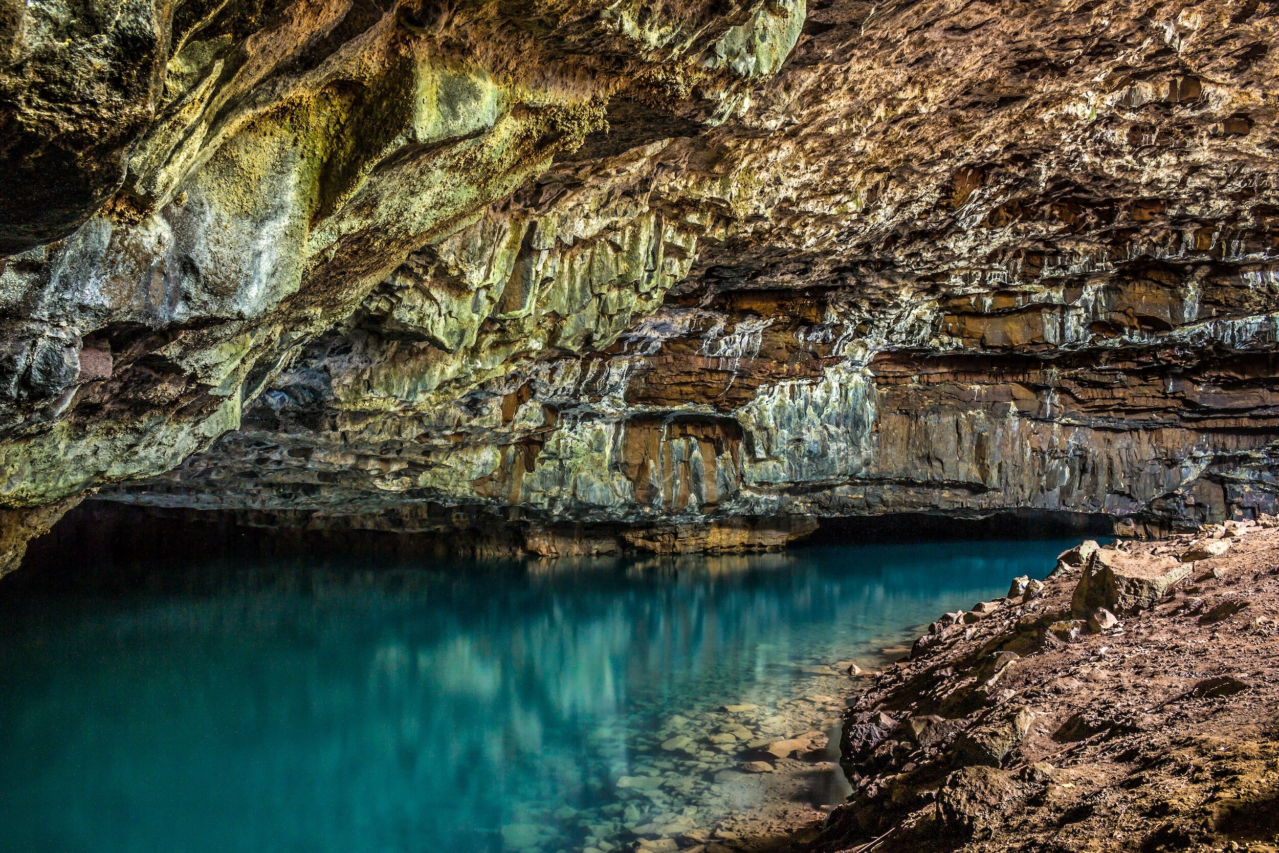
2-D and 3-D resistivity imaging of karst sites in Missouri, USA,
Evaluating some factors that affect the feasibility of using ground penetrating radar for landmine detection,
Intercalating slack water lake and outwash deposits at a bedrock valley confluence in the lower Wabash Valley,
Detection of subsidence and scouring features using shear-wave seismic,
Assessment of karst activity at highway construction sites in Greene and Jefferson counties, Missouri, using the electrical resistivity method,
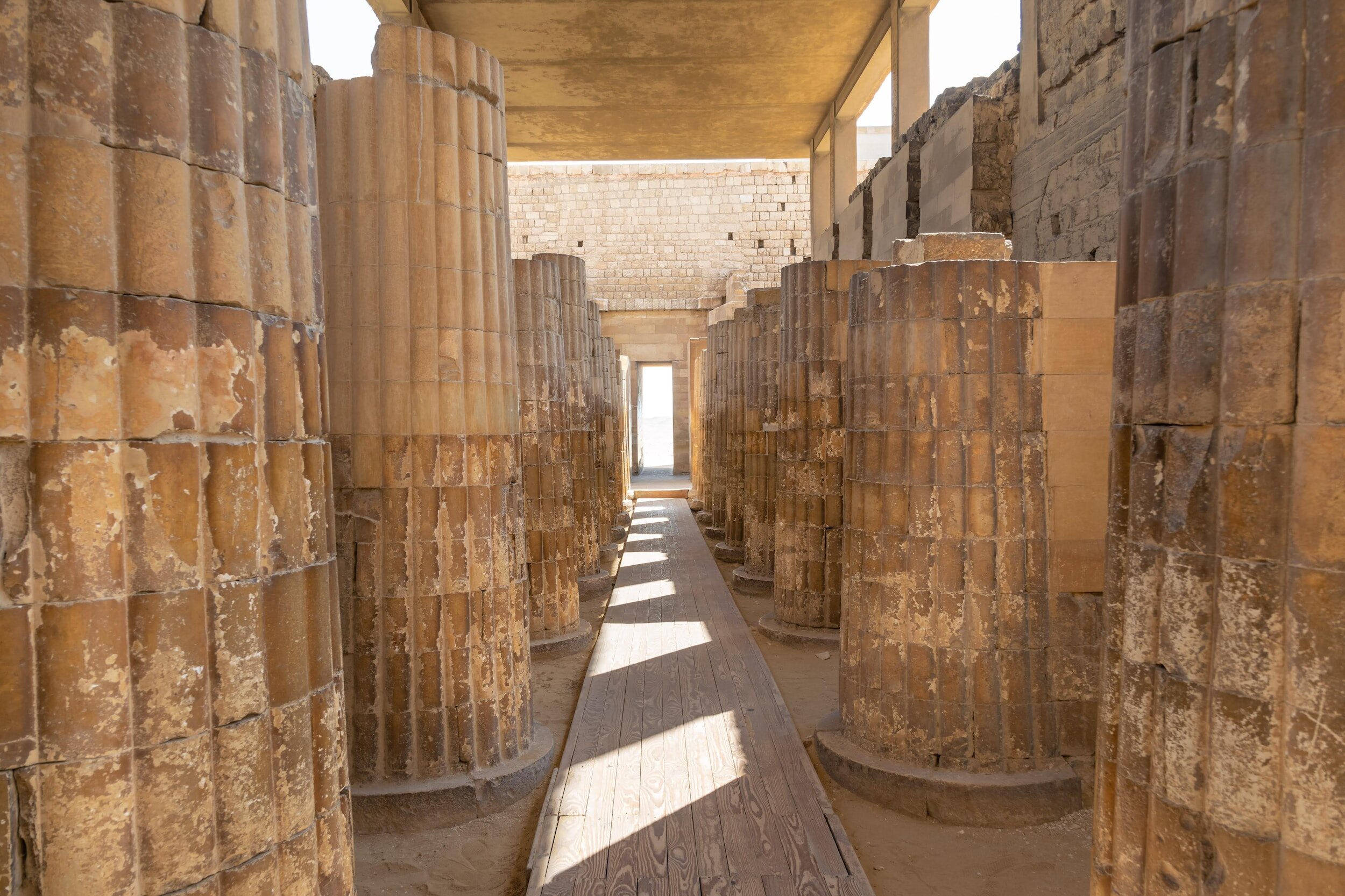
Why are the foundations of the Egyptian Temple of Karnak crumbling into sand? An integrated archaeological, geophysical, and engineering study
Imaging in Karst Terrain using electrical resistivity tomography and surface wave methods
Groundwater Projects
Seismic shear-wave characterization of sand and gravel groundwater aquifers in Northern Illinois,
Exploration and evaluation of potential groundwater aquifers and subsurface structures at the Beni Suef area in southern Egypt,
Characterizing glacial sediments and features in northeast Illinois using electrical resistivity and seismic-reflection profiling,
Exploring for groundwater in sub-Saharan Africa: Insights from integrated geophysical characterization of a weathered basement aquifer system, central Malawi.
Seismic characterization of glacial sediments in central Illinois,
Geophysical and hydrological investigations at the west bank of the Nile River (Luxor, Egypt),
High-resolution seismic reflection profiling: an aid for resolving the Pleistocene stratigraphy of a buried valley in central Illinois, USA,
Hydrogeophysical investigation at Luxor, southern Egypt,
Estimating aquifer hydraulic parameters from electrical resistivity measurements: a study of the Khuff Formation Aquifer, Al Quwy’yia Area, Central Saudi Arabia,
Delineating basement features to investigate fractured aquifers in a rural community,
Artificial intelligence for effective modeling of groundwater plumes based on limited geological and geophysical data.
Archaeological Projects
GPR detection of unmarked historic graves at the Fairlawn Cemetery in Stillwater, Oklahoma,
Geophysical assessment and mitigation of degraded archaeological sites in Luxor, Egypt,
Archaeological exploration using magnetic and GPR methods at the first court of Hatshepsut Temple in Luxor, Egypt,
Applications of geophysics to archaeology: resistance scanning investigation in the vicinity of El-Karnak Temple, Luxor, Egypt.
Mining Projects
Differentiating rooms and pillars on reflection seismic profiles: A seismic investigation of two abandoned coalmines,
Mining voids detection using seismic land streamer data at the Tri-State mining district in northeast Oklahoma,
Electrical and electromagnetic surveys to locate possible causes of water seepage to the ground surface at a quarry open pit.
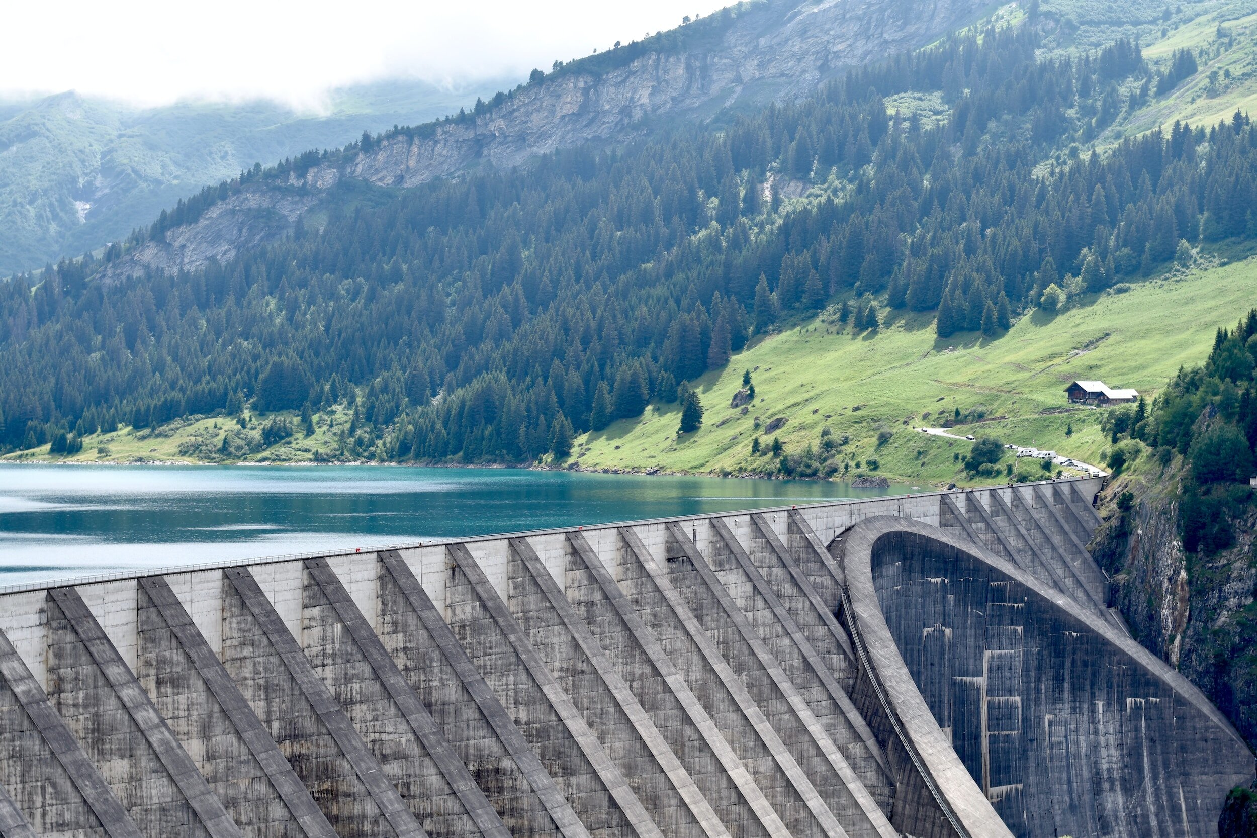
Dams and Levees Projects
Geophysical characterization of the Carl Blackwell earth-fill dam: Stillwater, Oklahoma, USA,
Geophysical investigation of seepage from an earth fill dam, Washington County, MO,
Improvements in Geophysical Investigations of Earth Fill Dams,
Geophysical investigation at Carl Blackwell Dam, Stillwater, Oklahoma,
Earthfill dam safety investigation and monitoring using integrated geophysical methods.
For a Consultation or Scheduling a Training
Call us at: (945) 400–8316
Interested in working together? Fill out some info and we will be in touch shortly! We can't wait to hear from you!